Become a member
Cardiff Update 2023/24
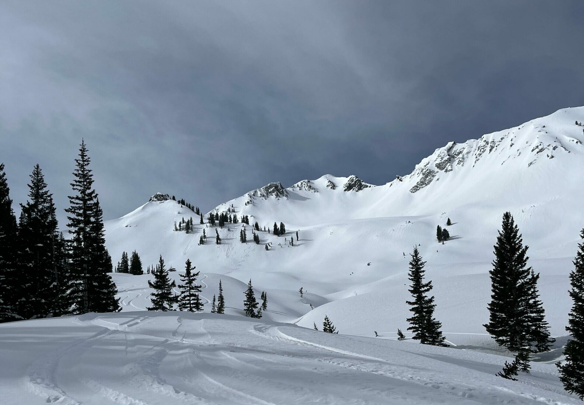
As many of you may know, Cardiff Fork has had more than its share of access issues over the years, and as the snow begins to fly this season we wanted to provide a reminder and an update as to what is going on there, because Cardiff is understandably a popular place to visit.
In May 2022 the Special Use Permit (SUP) that the landowners agreed to with the Wasatch Cache National Forest Service (FS) had in Cardiff Fork expired after 10 years, despite efforts by the FS to encourage permit renewal. This SUP was important in two ways: it not only allowed the landowners to cross the swaths of public land in the drainage to access their land, but they could do so with motorized vehicles in both summer and winter. In exchange, they were required to allow access to the public by crossing their private lands without fear of reprisal. The expiration of the permit thus reversed these two access issues: the landowners are no longer allowed motorized access to their private land up the rugged Cardiff road, and the Forest Service, in their words “cannot authorize travel over private property boundaries” for the public. However, this summer the Forest Service kept the gate near the Donut Falls trailhead closed and locked for the first time in many years, despite several early-summer efforts by someone breaking the FS locks.
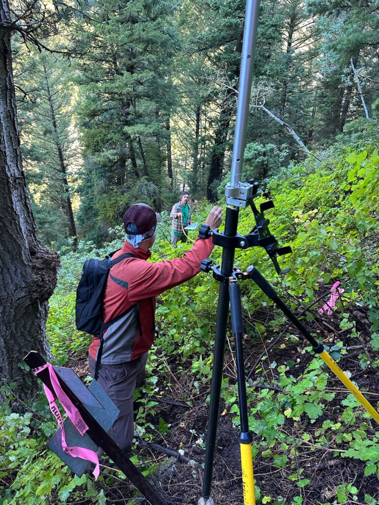
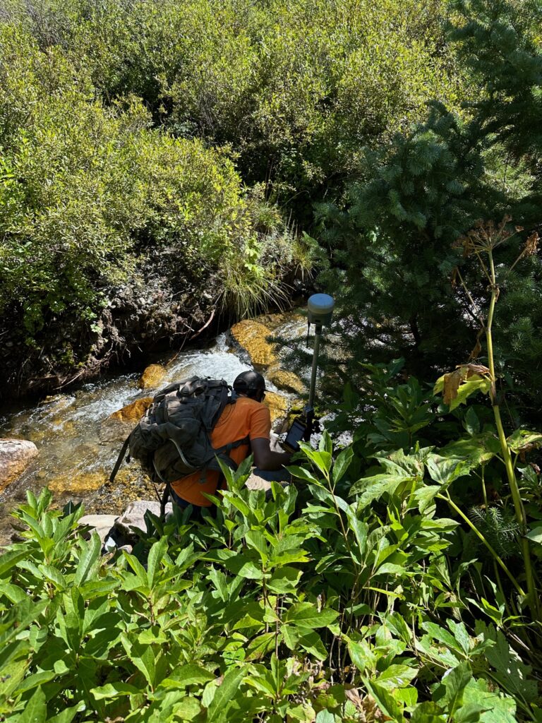
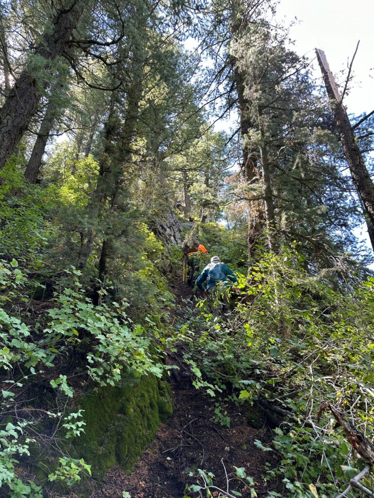
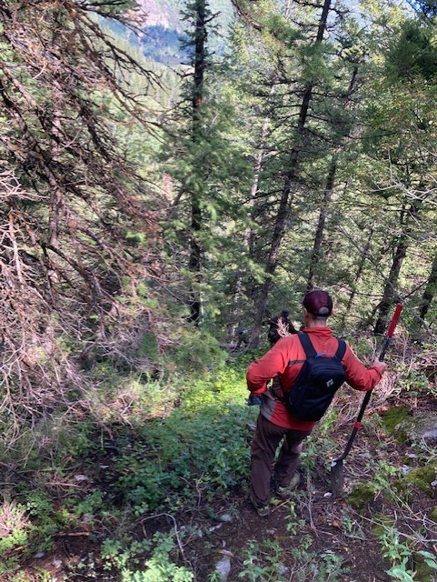
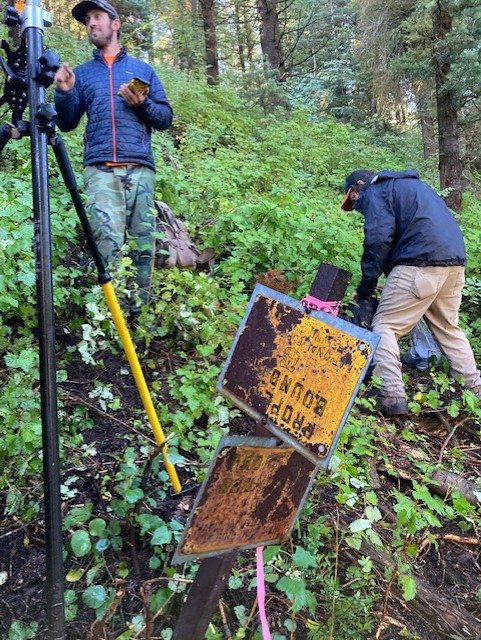
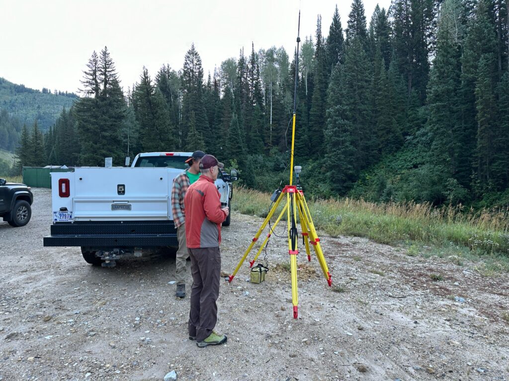
The problem is that the canyon is a patchwork of public and private lands, with awkward straight line property boundaries that are in many cases still a function of old mining claims. The Forest Service took an important step this summer in sending a team up into Cardiff Fork to confirm public land boundaries via modern survey technologies, and a few Wasatch Backcountry Alliance board members went up to observe and help out in the very rugged terrain:
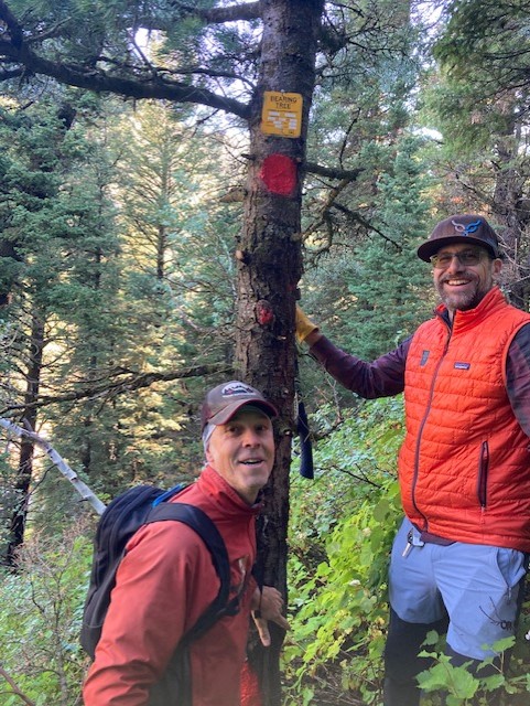
The landowners adjacent to these public lands were contacted because the surveyors themselves needed to provide notification of their need to access public land via private land and those landowners did not want any surveying done.
Last winter WBA received reports of individuals lurking in the Donut Falls area warning would-be snow visitors that by continuing up the drainage to ski they would be trespassing. These interactions seemed to range from informational to threatening. Additionally, someone put up a temporary plastic fence across the road farther up the drainage on public land to discourage continued travel. If you choose to go up Cardiff fork from the bottom and you encounter anything unusual along these lines or see motorized vehicles in the area please send us an email at info@wasatchbackcountryalliance.org If you want the latest/best view of what Salt Lake County has for property boundaries, you can download the Avenza app and get the information.
Recently WBA board members met with County Councilwoman Dea Theodore’s policy advisor who agreed that despite efforts by the agencies and parties via the SUP and an unsuccessful mediation that happened this spring, the situation remains somewhat intractable. We are participating in a Cottonwood Canyons Advisory Board for Public and Private Access into the Backcountry that Theodore’s office has organized.
So as we emphasized in last season’s update, it’s important to stay cool in Cardiff Fork. Much of the terrain we enjoy in the winter in the Central Wasatch is on private lands, and much of it is either not very well understood in terms of boundaries or the landowners have either not really used it at all or have historically allowed access. Cardiff Fork is different in that there are individuals, families, and LLC’s that have exercised their ownership over the years. They did file a lawsuit in the early 2000’s that was appealed to the District Court, which in 2006 ruled that the landowners did not have the right to deny the public access to the adjacent public lands and that in turn led to the development of the SUP to allow them access, but regardless of the laws, boundaries, and rulings, creating acrimony between our respective communities will only hurt the entire process, so please act with respect and discretion.
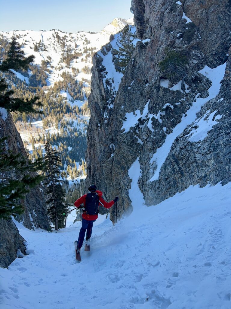
As a reminder, most of the private land in Cardiff Fork surrounds the old mine structure at the bottom of The Tube; there is some in the Holy Toledo area but that large landowner has provided permission to cross, and most of the Cardiac Ridge area is public land (that still is also the domain of Wasatch Powderbird Guides heli operation). There are swaths of land that do cross the Cardiff road/trail at a perpendicular angle and are virtually impossible to avoid. So if your destination is the greater Cardiac Bowl area, the traditional – and shorter – access via Pole Line Pass is advised.
Many of our constituents have expressed their desire for WBA to take action to gain back historical backcountry access in Cardiff Fork. There is no easy answer but we are more actively working on this issue. While this will be extremely complicated and drawn out process, but we will keep you updated as important new developments arise.
Join the WBA newsletter for Central Wasatch backcountry events and news.
More articles
-
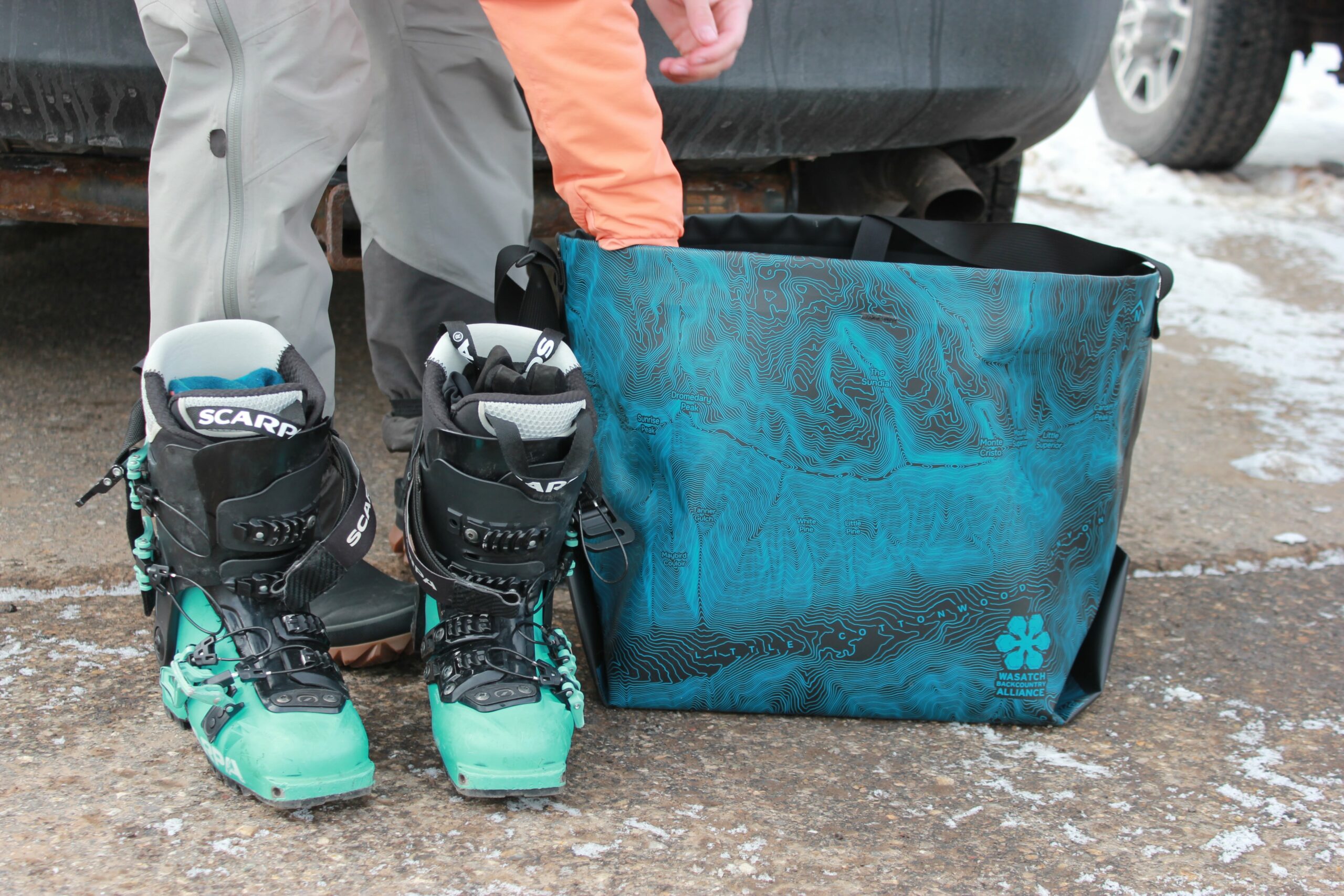
WBA x eqpd GearBuckets
We are stoked to introduce the eqpd gear Wasatch Backcountry Alliance GearBucket! Stamped with the Little Cottonwood Canyon topo map, the GearBucket combines the usefulness…
-
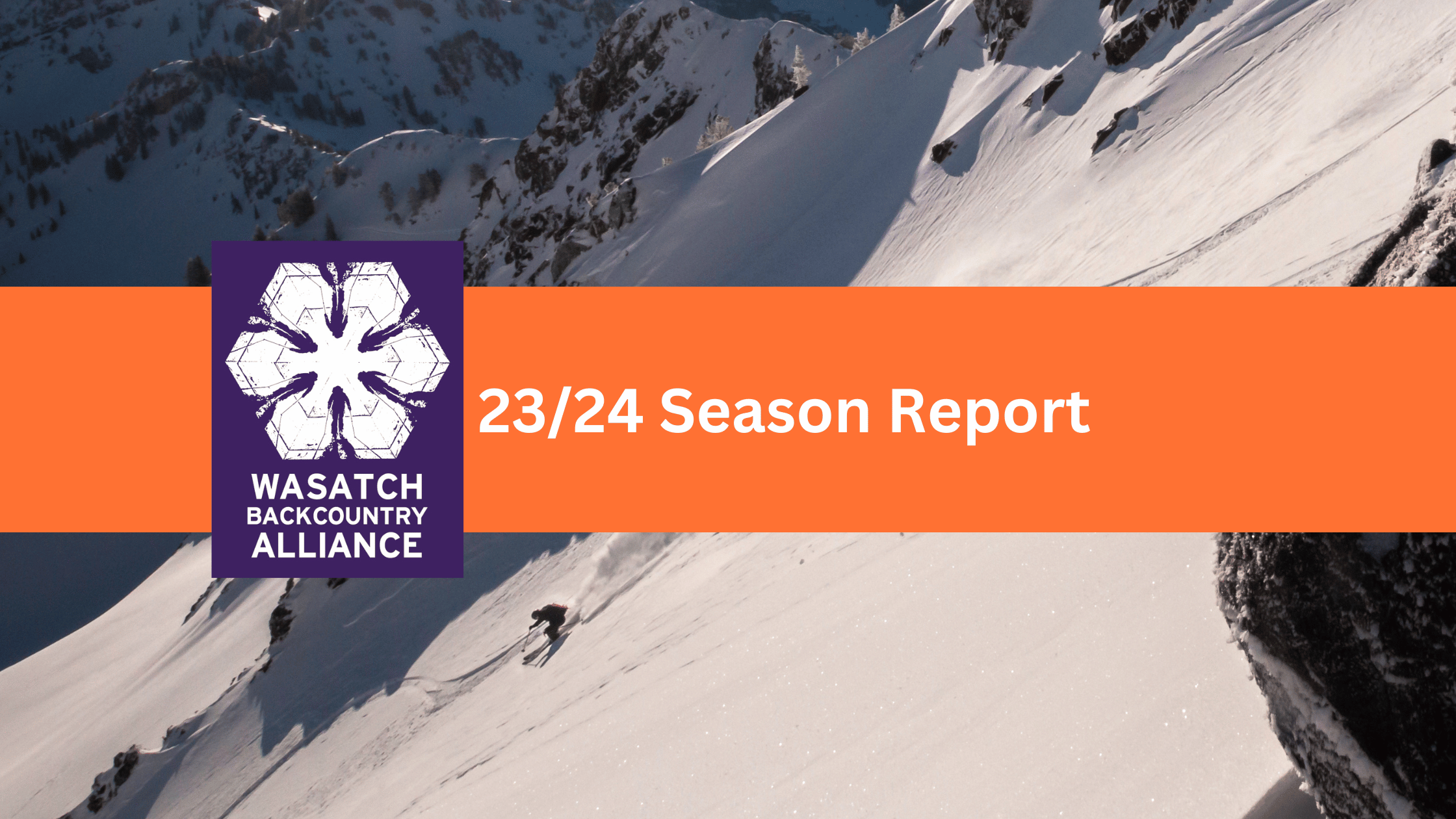
23/24 Season Report
Wasatch Backcountry Alliance published our first-ever season report from the 23/24 winter! For the past 10 years, WBA has been run by a volunteer board…
-
UPDATED- Comment Period: Upper Mill Creek Canyon
03/29/2024 Update You may remember that the Forest Service, Salt Lake County, and Federal Highways have been working on a plan to rebuild the Mill…